Discover how Polynesian navigation worked without instruments: star compass, ocean swells, birds, and memory. Learn about Hōkūleʻa and the revival of wayfinding
Thousands of years ago, Polynesians began venturing across the Pacific — a vast sweep of water between scattered islands. Without instruments, charts, or modern technology, they covered hundreds and even thousands of kilometers. How was that possible? The key lay in special knowledge handed down through generations. Sailors spoke of routes they knew as spirit paths — lines that bound together not only islands, but people, culture, and memory.
Polynesian navigators oriented themselves by the stars. They knew exactly where and when certain stars would appear and how to take a bearing from them. Each star pointed the way toward a particular island. The rising of one could call for an eastern course, another for a western one.
In this way they laid out their seaborne roads, committing stellar routes to memory and following them even through the night. The knowledge was practical, yet also regarded as sacred. For many, the stars felt like trusted companions, even protective spirits, guiding the voyage.
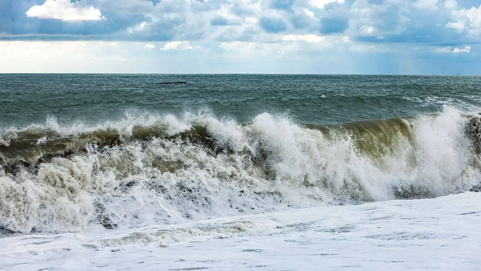
Beyond the sky, navigators watched the ocean itself. They could tell waves arriving from different directions, sense their rhythm and strength. Some swells were born of distant islands or winds — clues that could reveal a heading even when land was far away.
They read the sound of surf, the way clouds reflect on water, the color of the sky, and the flight of birds. All of it served as guidance. From these signs, sailors judged whether shore was near, where shallows or reefs might lie. Nature was not an adversary, but an ally.
There were no books or written notes. Knowledge passed orally — through stories, songs, and steady observation. Apprentices spent years watching the sky and sea, memorizing routes and the signs that mark them.
One method was the star compass, a way of imagining the horizon as a circle and fixing the places where stars rise and set along it. Such skills were prized and not shared casually — this was guarded knowledge.
In the 20th century, many traditions began to fade. In the 1970s, Hawai‘i saw the building of the traditional canoe Hōkūleʻa, an effort to show that ancient navigation truly works. Mau Piailug, a navigator from one of the Micronesian islands, helped make it possible by passing his knowledge to young Hawaiian sailors.
Since then, the old methods have been studied anew. Today, in Hawai‘i and on other islands, schools teach navigation by stars, waves, and other natural cues. This keeps culture alive and reinforces respect for nature.
For Polynesians, a journey across the ocean is more than a route — it is part of who they are. They see such passages as bound to ancestors, to nature, and to the past. The ocean is not empty space but a living realm dense with signs.
These paths do not appear on any chart, yet they exist — in the stars, in the swells, in memory. They speak to trust in the world, sharp attention, and a profound bond with everything around us. It’s hard not to hear in them a quiet invitation to slow down and listen.
Polynesian navigation is not only about the past. It is a reminder that people can move in step with nature. It is knowledge that trains the eye, the ear, and the senses. And perhaps that is exactly what we are missing today.